Cosmo Drones
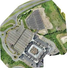
A detailed, topographically-accurate map can be produced very quickly in comparison to traditional survey methods. As a result, orthomosaic maps can be put to good use across a wide variety of industries including emergency response earming, construction, real estate, insurance, and telecommunications.

It depends on several factors such as site location, logistics, packet size, and the list of deliverables that the client wants
RGB: These cameras take traditional pictures and require light, just like the human eye
Thermal: Thermal sensors have great potential for use in a variety of applications requiring accurate temperature data at high spatial and temporal resolution
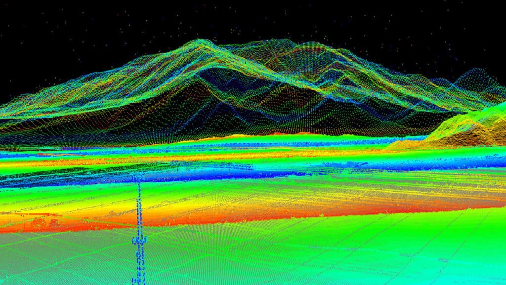
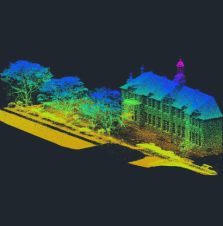
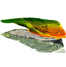
LiDAR: Uses light energy, emitted from a laser, to scan the ground and measure variable distances for high-resolution 3D models
Multispectral: They can pinpoint nutrient deficiencies, identify pest damage, optimize fertilization and assess water quality
We have multiple drones for operation specific requirements such as surveillance, survey and mapping, agriculture spraying
FAQs