Precision Spraying
By delivering treatments with precision, spraying drones minimize chemical use, reducing the overall environmental impact. This promotes sustainable farming practices and helps preserve soil quality and water sources.
Seed Planting
Drones can autonomously drop seeds using drones along a predefined route and have them work in a “swarm” formation using AI. This is a gamechanger in reforesting remote and isolated sites.
Crop Analysis
By discerning subtle variations indicating stress, nutrient deficiencies, or diseases, professionals can implement precise remedial actions. Proactive measures translate into higher-quality crops and sustainable agricultural ecosystems.
Close visual inspection
There are several limitations with human sight.The drones can be utilized to closely inspect large industrial chimneys for structural defects and high voltage power lines for faults without compromising the safety of field officers.
Thermal Inspection
Aerial Thermographic Inspection drones with thermal imaging cameras, offering quick, comprehensive, and non-invasive inspections across large areas. Infrared photographs can be used to detect extreme temperature differences that can locate otherwise unseen issues, such as concealed moisture damage and heat leakage.
Thickness Inspection
UAS provide NDT experts across industries with a unique aerial perspective without compromising the pilot’s safety. Paired with an ultrasonic thickness gauge for chimney thickness inspection, drones are really taking things to the next level.
Aerial Shots and Cinematic Perspectives
Drones played a pivotal role in the opening sequence of the 2012 James Bond film “Skyfall.” The breathtaking aerial shots of Istanbul’s rooftops and the ensuing motorcycle chase through the Grand Bazaar showcased the stunning visuals that drones can deliver, setting the tone for the film’s action-packed story.
Cost-Effective Filmmaking
The critically acclaimed documentary “The Eagle Huntress” (2016) used drones to capture intimate and immersive footage of a young Kazakh girl’s journey to become an eagle huntress. Drones allowed the filmmakers to capture the remote and rugged landscapes of Mongolia’s Altai Mountains without the need for expensive helicopter support.
Flexibility and Mobility
In the movie “Jurassic World” (2015), drones were used for location scouting and assessing the safety of the fictional park’s dinosaur enclosures. This use of drones within the film mirrored their real-world applications, showcasing their ability to access and survey challenging and potentially dangerous terrain.
By using drones, we can capture ultra-high resolution aerial images, LiDAR data, and multispectral data at a fraction of the cost and time. Drone survey data is also of better quality as it
has billions of data points. By collecting high-resolution forest data, we can get deep insights into the state of our forests. We
can use
drones in this sector for:
Structure estimation & inventory
Damage assessments
Forest-fire detection
Encroachment / trespass detection
Poacher Intervention
Wildlife habitat monitoring
Wild animal movement detection
Survey and Mapping
We provide high-resolution 3D mapping, digital elevation, and terrain modelling using LiDAR camera. digital elevation, and terrain modelling. This lowers the time it takes to collect and process the data needed to operate the mine, all while lowering the overall operating expenses.
Volumetric Analysis
Drones offer a bird’s-eye view of the site, capturing detailed images that can be processed to calculate volumes with high precision. This strikes a delicate balance between resource utilisation, environmental responsibility and operational efficiency.
Blasting Assessment
Before drilling and blasting begins, a 3D model can be created as a historical record check to analyze the after-effects of the work. An updated version of the model allows miners to make data-driven decisions about potential hazards from drilling and blasting in the future.
Wind
Drones can be equipped with a digital camera or a thermographic camera depending on the scope of inspection. A digital camera provides proof of the visual failures and damages of the tower, nacelle, rotor blades and bolt jointings. Thermal can detect temperature changes on motor blades.
Solar
Advanced sensors, cameras, and thermal imaging features on drones allow them to watch installations, conduct inspections, and identify possible problems all from a secure distance. Drones’ fast and precise aerial surveys of prospective locations are one of the main advantages in solar.
Power Lines
Drones can be used to inspect power lines and power pylons for bird’s nests, lightning strikes, rust/corrosion and damaged bolts. We can fly extremely close to the power lines, and as a result provide high resolution images and data, useful in the optimization of your maintenance plan.
Search & Rescue
Our drones can help cover large areas easily, and they can be equipped with thermal sensors. These make them effective in search and rescue operations by tracking body heat signatures.
Traffic Analysis and Control
We can use drones to monitor traffic patterns and identify potential problem areas. By analyzing the data collected by drones, traffic management authorities can make informed decisions
about traffic flow.
Patrol-led Deployment
This model places drones in the trunks of patrol vehicles, where they can be quickly deployed at incident scenes to provide situational awareness as to the locations of subjects, presence of weapons and other related hazards.
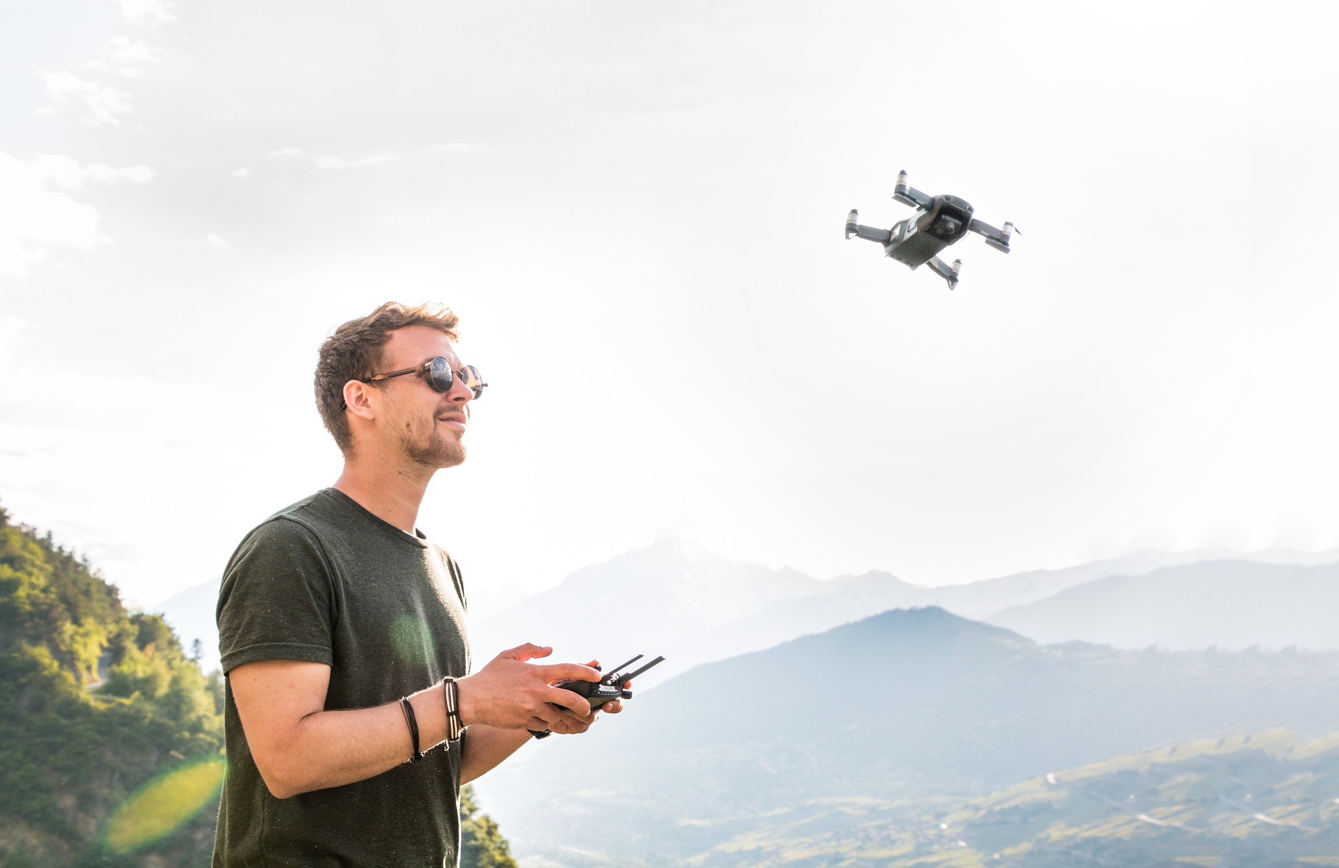
If you are a drone enthusiast like us and you are planning to learn how to fly a drone, then we are the right partners for you. We will get you access to a state of the art RPTO that offers a comprehensive course for getting certified as a drone pilot. Join us to understand the workings and intricacies of a drone, learn how to assemble a drone through DIY classes, experience simulation trials for joystick sensitivity control, and finally master how to fly the drone in field operations. We will assist you in procuring a pilot licence issued by the DGCA (Director General of Civil Aviation) and also help you with great employment opportunities.